LAND SURVEYOR
Drone Survey
Drone surveying uses advanced drone technology to capture high-resolution aerial images and accurate mapping data of land and project sites. This method allows surveyors to quickly collect detailed information about large areas, terrain conditions, and site features with high precision. Drone surveys are widely used for land development, construction monitoring, topographic mapping, and infrastructure planning. By using modern drone technology, we provide faster, safer, and highly accurate survey results that support better planning and decision-making for projects.
Topographic Survey
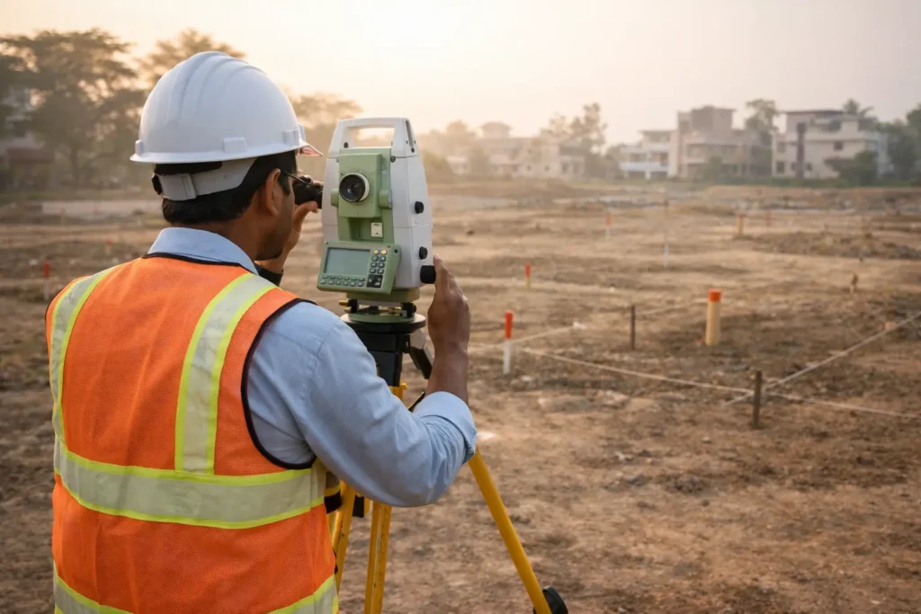
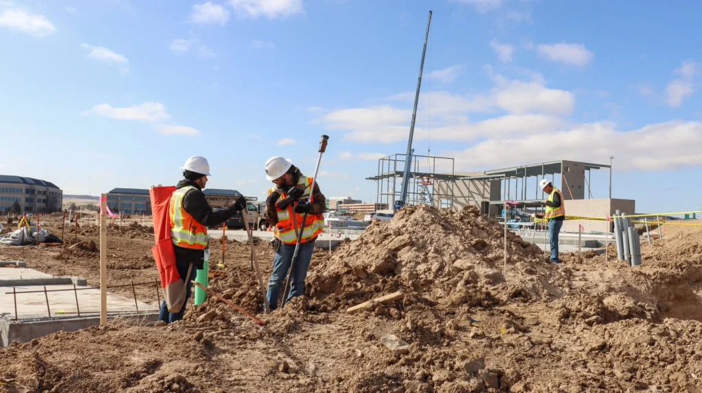
Topographic surveying focuses on measuring and mapping the natural and man-made features of a land area. This includes details such as ground elevations, contours, trees, buildings, roads, and other physical features present on the site. These surveys are essential for architects, engineers, and planners to understand the terrain before starting any construction or development project. Accurate topographic data helps in better planning, design, and decision-making for residential, commercial, and infrastructure projects.
Construction Survey
Construction surveying plays an important role during the building and development process. It involves marking and measuring precise locations for structures, roads, foundations, and other construction elements based on approved plans and drawings. These surveys ensure that construction work is carried out accurately according to design specifications, reducing errors and improving the overall efficiency and safety of the project.
Level Survey
Level surveying is used to determine the difference in height or elevation between various points on the ground. This information is essential for construction projects, road planning, drainage systems, and site development. By accurately measuring ground levels, surveyors help engineers and architects design structures that are stable, properly aligned, and suitable for the natural terrain of the land.
